Finding and Using Land Ownership Maps
Rick Sayre, CG, CGL, FUGA
Content
Welcome
1m 59s
Speaker's Introduction
1m 41s
Introduction
2m 8s
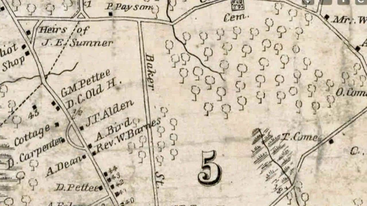
Cadastral Maps
3m 25s
Major Online Resources
7m 34s
Case Study
8m 45s
USGS
9m 13s
Case Study
15m 20s
Military Maps
3m 10s
Tax Maps
5m 1s
Announcements / prizes
6m 49s
Questions / answers
18m 29s
After-webinar party
22m 42s
About this webinar
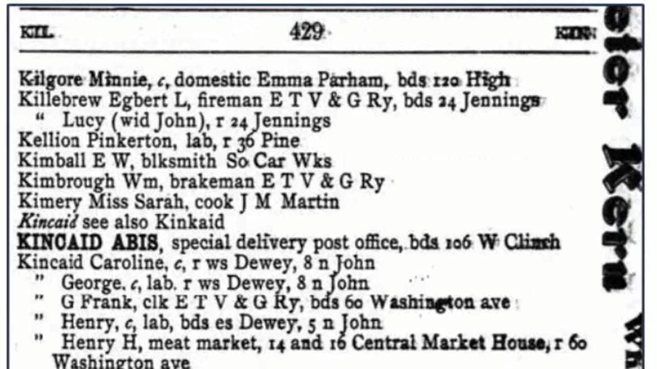
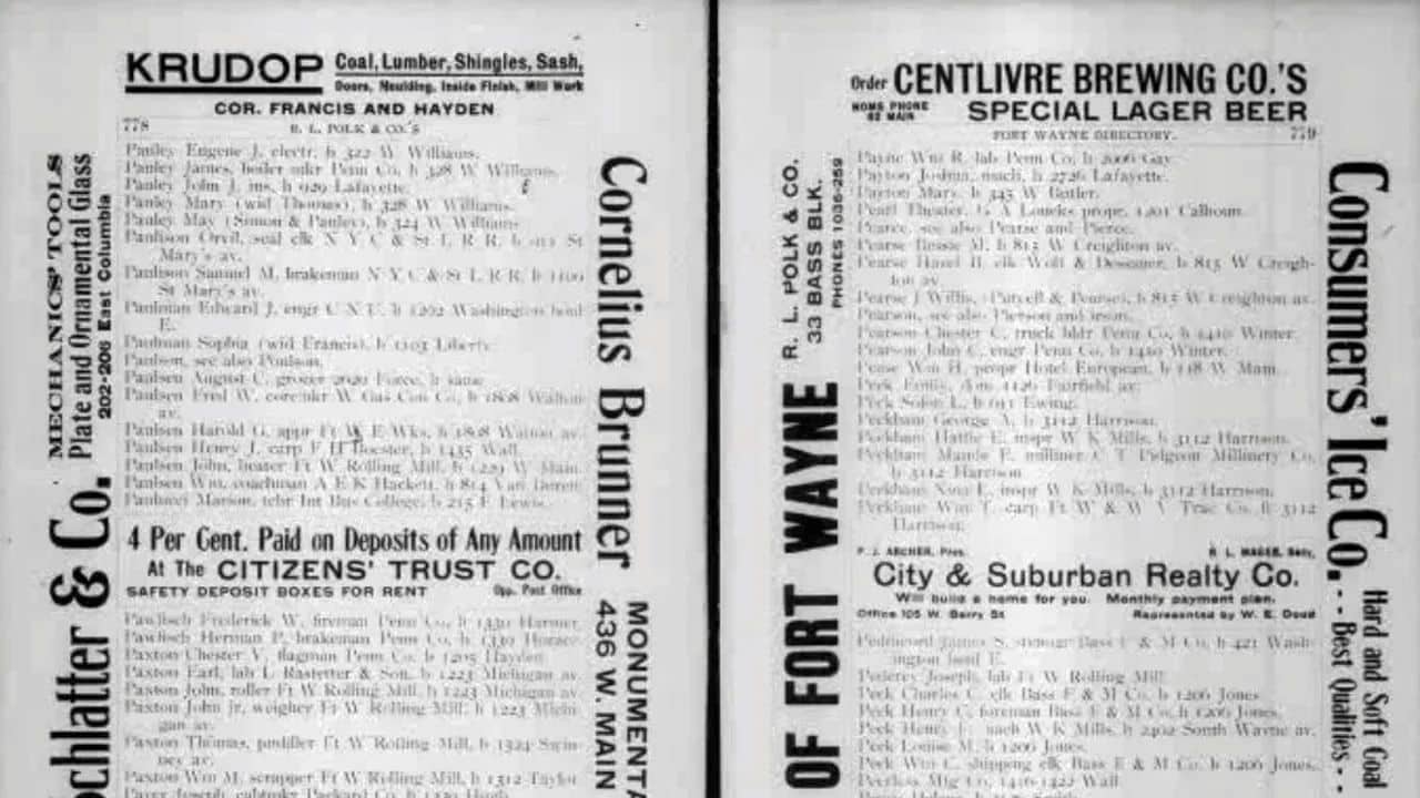
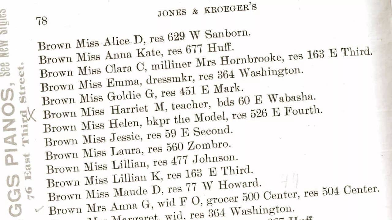
Land ownership maps in the United States are generally focused on the county level. Produced largely in the nineteenth-century in single sheet or atlas format, they were sold by subscription and also developed to commemorate events such as the centennial of the American Revolution. Though advances in printing such as lithography increased availability, maps were still expensive. Consequently, they likely will be found in more affluent areas. Property owners can also be found on military maps and other government published maps. Land ownership and residence can often be determined by correlating city directories with fire insurance maps.
\nAbout the speaker
Rick Sayre, CG, CGL, FUGA, a retired colonel who served 31 years in the U.S. Army, is a long-time researcher and instructor in genealogical topics. Rick is a past president and current board member of...
Learn more...Loading comments...
Related webinars