Using Military Maps in Genealogy
Rick Sayre, CG, CGL, FUGA
Content
About this webinar
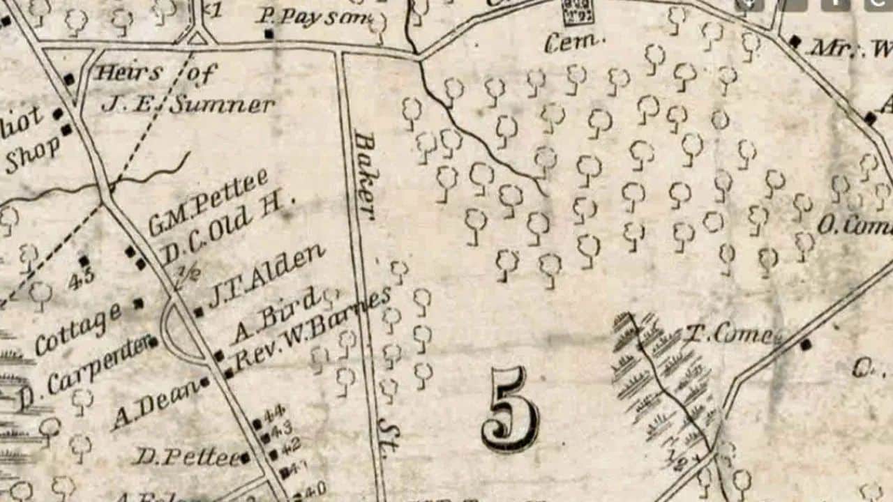
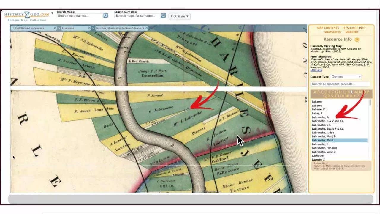
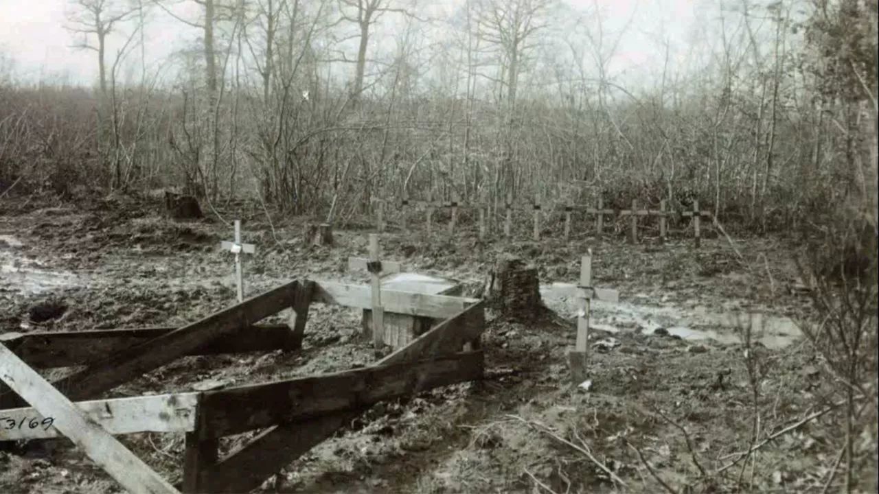
Military maps have some obvious value to the family researcher. If our person of interest was in a military unit or fought in a battle we might want to understand the battle or locate his unit, knowing he was there at that time and place. However, even if our research subject was not in the military, we should consider the possibilities. Many military maps are large scale (show a lot of detail) and many show property owners. In the Civil War era it was common to navigate by referring to a location by the land owner’s name. Your ancestor’s house may have been identified on the battlefield map as a reference point, or served as a hospital. A farm may have been turned into a cemetery. Also rivers and fords tend to be annotated on these maps.
\nAbout the speaker
Related webinars