Discovering Old Land Surveys in Deeds and Probates
J. Mark Lowe, FUGA
Content
About this webinar
About the speaker
Key points and insights
This engaging webinar, “Discovering Old Land Surveys in Deeds and Probates”, presented by professional genealogist J. Mark Lowe for Webtember 2025, offered researchers a deep dive into the often-overlooked world of land records. Focusing on how old plats, surveys, and deeds can unlock powerful insights about family locations, property history, and community connections, Lowe demonstrated practical ways to trace ancestors through state and federal land systems. Blending case studies, personal stories, and clear research strategies, he showed how to turn complex land descriptions into vivid maps of the past—making the study of deeds, maps, and probates both practical and surprisingly personal.
Key Takeaways:
-
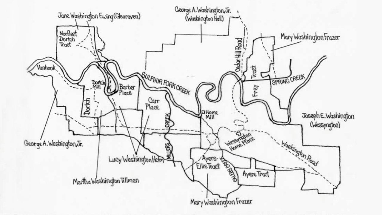
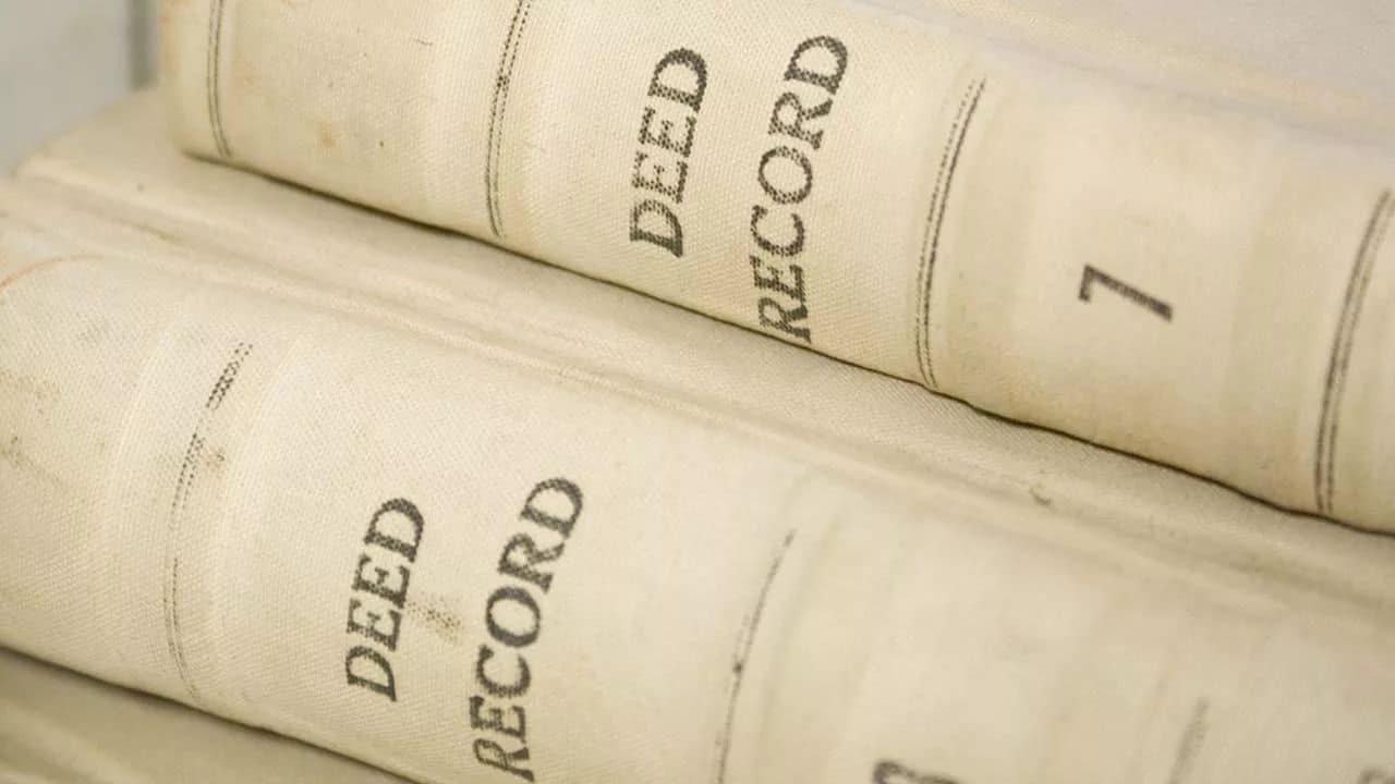
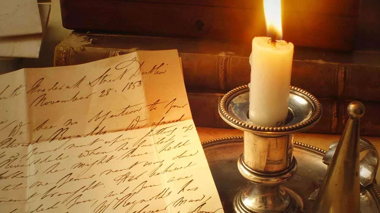
Land Surveys as Hidden Genealogical Gold: Lowe emphasized that original land surveys—often tucked into deeds, grants, or probate files—can reveal names of neighbors, landscape details, and settlement patterns. These sources often compensate for record loss and can connect generations through shared geography.
-
Tools and Techniques for Modern Research: Attendees learned how to access and analyze historical maps and surveys using resources such as the Kentucky Land Office, FamilySearch, Ancestry, and the David Rumsey Map Collection. Lowe demonstrated how to overlay old plats on modern mapping tools, including Google Earth, to locate ancestral properties precisely.
-
Bridging the Past and Present through Place: Through examples like Daniel Boone’s Kentucky land grants, Florida property records, and Tennessee estate surveys, Lowe illustrated how persistence and creativity help researchers reconstruct communities, verify family stories, and visualize ancestral lives in real-world settings.
Lowe closed by reminding genealogists that the key to success lies in curiosity and patience—taking time to “read” the land as carefully as any record. By exploring surveys, field notes, and plats, researchers gain context that transforms simple land descriptions into rich family narratives.
For genealogists eager to sharpen their land research skills, viewing the full webinar offers the opportunity to see Lowe’s step-by-step demonstrations, detailed visuals, and map-based problem solving in action. Dive deeper by exploring the supplemental materials in the webinar syllabus, which includes curated links, map collections, and reference tools to help bring your ancestors’ land—and stories—back to life.
Related webinars


Comments (135)
I am taking the tools you provided to start my research into Canadian land services in Ontario and Alberta. I’m looking forward to what I will find on my family in these parts. Your process is much appreciated. A new dimension added to my family story. Well presented and explained. Thank you.
BTW, the Lionel Ritchie episode of WDYTYA is one of my all time favorites, I can actually give you details of it to this day. Fascinating story.
Always enjoy your work! Se detailed and thorough; yet easy to understand. Very motivating presentation style!
Always great to listen to...
So jam packed with information and ideas. Presentation was so enjoyable.
Lots of great information!
This was fun. In a prior lifetime, I was a cartographer who drew plat maps by counties. Some were just updated, some were original (always challenging). The thing people need to remember about current plat books is that the companies will occasionally put in a deviation for copyright purposes. If you find what looks like an error - it may be intentional so they can track if another company tries to copy the map for profit. This brought back a lot of fun memories of my travels and mapping!
Learned new perspectives. Thank you.